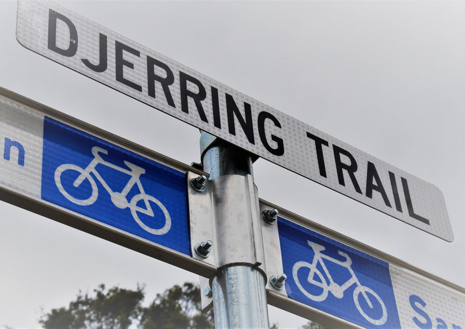
A name has been revealed for the new shared walking and cycling path soon to run all the way from Caulfield to Dandenong, with ‘Djerring Trail’ now entered into Melbourne’s official records.
Djerring was one of 4 names put forward to the community earlier this year as part of a public vote, which also asked people if they preferred the wording ‘trail’ or ‘rail trail’.
It scored around 60% of the vote, coming out ahead of alternatives Eucalyptus, Kerrboo onool and Urban Parkland Trail.
Coming from the Bunurong Aboriginal language, the word Djerring means ‘join’ or ‘unite’, and was suggested by the Bunurong Land Council.
Djerring can also be interpreted to mean ‘connect’, making it ideal for a trail that will provide a new off-road route through seven suburbs.
More than 1800 people participated in the public vote via an online survey.
After voting closed in April, the name was formally submitted to the Office of Geographic Names, resulting in the Djerring Trail being gazetted and taking its place in Melbourne’s history.
Around 12km of shared use path is being built by the project, joining existing paths to create a continuous route from Caulfield to the EastLink Trail in Dandenong.
Weaving its way through the project’s 22.5 hectares of new open space, the trail also connects new and existing recreation areas such as Noble Park’s aquatic centre and skate park.
The first 2km section is now open between Noble Park and Springvale, while construction continues in other areas.
Three new elevated sections of track were opened earlier this year as part of the landmark project to remove 9 level crossings between Caulfield and Dandenong.
The Bunurong Land Council is a traditional owner organisation that aims to preserve and protect the sacred lands of their ancestors.
Traditional Bunurong lands encompass Western Port Bay across to Leongatha and Wonthaggi in Gippsland and north to Frankston and Cranbourne in Melbourne’s south east.