Music: Upbeat pulsing rhythm.
Voiceover: Victoria’s Big Build is improving road and rail and is already transforming how you travel in the west.
Vision: Aerial view over traffic, 2 road bridges and a train passing through a level crossing construction site. A woman looks out the window of the train. Transition to animated Victoria’s Big Build logo moving in the background with white and green mint title words sliding onto the screen.
Title text: Melbourne’s west
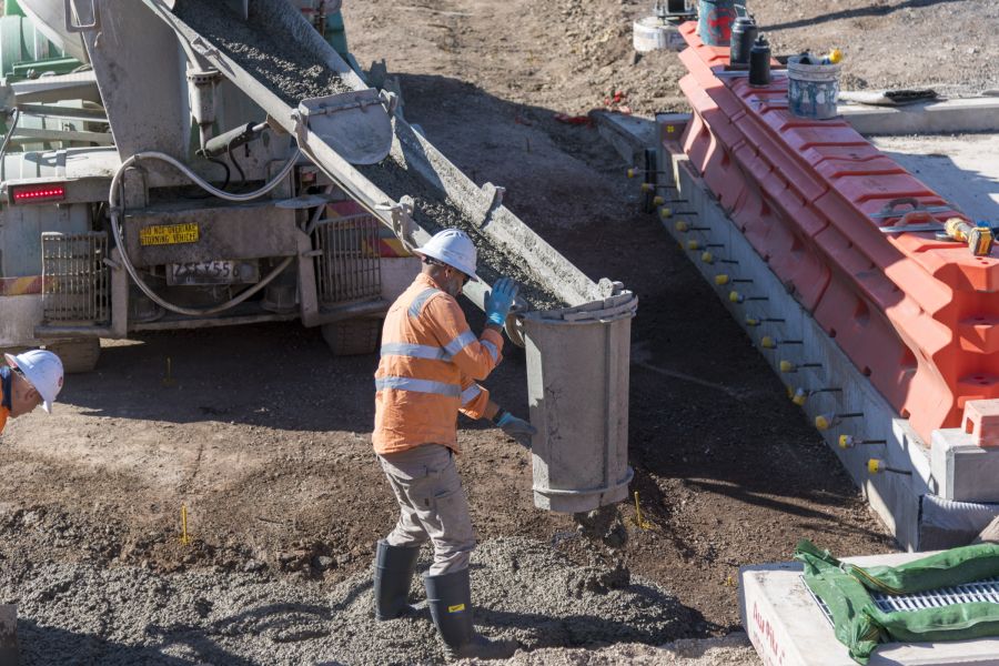
Voiceover: The West Gate Tunnel will deliver a vital alternative to the West Gate Bridge. Providing quicker, safer journeys and removing thousands of trucks off local streets. Linking the West Gate Freeway, CityLink, the Port and the City.
Vision: Artist's impression of the outside of a West Gate Tunnel entrance and construction on the West Gate Tunnel.
Voiceover: We’re removing level crossings, with many already gone.
Text: Boom gates gone in the west. Cherry Street. Robinsons Road. Old Geelong Road.
Vision: Transition into a screen split 3 ways, with aerial views over 3 completed level crossing removal sites - Cherry Street, Robinsons Road and Old Geelong Road.
Voiceover: We’re building new stations and making it easier to walk, cycle and enjoy new open spaces.
Text: North Williamstown Station.
Vision: View of the new North Williamstown Station forecourt from the road nearby. View of 2 people, one pushing a pram, towards the new station. Quick succession of different viewpoints of the station.
Voiceover: We’re improving safety for drivers by upgrading and repairing some of our busiest and most congested roads.
Text: Road upgrades in the west. Dohertys Road. Leakes Road. Palmers Road. Ison Road.
Vision: Transition into a screen split 3 ways, with aerial views over 3 completed road projects – Dohertys Road, Leakes Road and Palmers Road. A long-range view of the Ison Road Overpass construction site.
Voiceover: The Sunbury Line will be level crossing-free by 2025.
Text: Boom gates gone on the Sunbury Line. Main Road.
Vision: Aerial view over the completed Main Road level crossing removal site.
Voiceover: More trains on the Sunbury Line will run through the new Metro Tunnel
Vision: Text transitions to a blue screen with animated words sliding into view.
Text: More trains on the Sunbury Line will run through the Metro Tunnel.
Voiceover: stopping at 5 new underground stations.
Vision: Driver's view from the front of a train driving through a tunnel. The screen splits into sections to reveal footage of the 5 new stations.
Text: Building the Metro Tunnel. A new rail line under Melbourne’s CBD. Arden. Parkville. State Library. Town Hall. Anzac.
Vision: Long-range view of the Duncans Road construction site.
Text: Duncans Road.
Voiceover: We’re getting on with delivering what’s needed to keep the west moving
Vision: Aerial view over Hoppers Crossing Station.
Text: Hoppers Crossing Station.
Voiceover: both now and for the future.
Vision: Long-range view of a Metro Tunnel construction site along train tracks. Aerial view over new roads built as part of Wurundjeri Way, with the city views in the background. View of a road with cars travelling towards the camera viewpoint.
Text: Metro Tunnel. Wurundjeri Way.
Vision: Transition to a black screen with the white Victoria’s Big Build and Victorian State Government logos.
Text: bigbuild.vic.gov.au/west