1 March 2017
It's time to complete the missing link
Work is underway on a North East Link to finally complete the missing link in Melbourne’s ring road.
This massive project will build a new freeway link between the Metropolitan Ring Road at Greensborough and the Eastern Freeway or EastLink.
The Victorian Government has kickstarted the project with $35 million to prepare the business case and begin technical work to help select the best route by the end of this year, with planning approvals and tender processes due to start in 2018. It has set up the expert North East Link Authority to lead the project development, working closely with local communities.
The great news is that we are at the very start of this project, and are now getting to work with the best technical and engineering minds, in consultation with the community.
We already know the North East Link is needed for Melbourne’s future – the project was recently identified by Infrastructure Victoria as the number one road transport priority for our state – but there’s still a lot of work needed to figure out where the project will be built and how, and to make sure we get a great result for Victoria.
North East Link will deliver:
- less congestion
- more than 5000 jobs
- trucks off local roads
- direct airport access
- shorter travel times.
Victoria’s 30 year infrastructure strategy
Infrastructure Victoria is an independent body that gives expert advice and guides decision making on transport priorities in our state.
It recently released the first ever 30 year Infrastructure Strategy for Victoria – you can find it online at Infrastructure Victoria.
North East Link was a big part of the 30 year strategy, with Infrastructure Victoria’s experts taking a good look at the project and deciding that it is the number one road transport project for Victoria.
It found that this project would provide many benefits to local people as well as industry and jobs. It concluded that better orbital connectivity around Melbourne would improve the capacity of the road network, and enhance access to major employment centres in LaTrobe, Epping, Ringwood and Broadmeadows.
Why North East Link?
We’ve had lots of positive feedback about the North East Link, but some people have also asked us why we need the project.
There are many reasons it makes sense to complete this major missing link in Melbourne’s ring road. Importantly, it will provide new choices for people and goods to travel around our city, rather than having to travel through it. This will make it much easier to connect people to jobs, education, health services, and to move important goods between industrial centres and the airport.
You only have to travel on our roads regularly to know Melbourne is growing rapidly and there’s going to be more and more demand for travel in the future – particularly on already congested north-south routes.
- Melbourne is the fastest growing city in Australia, and our population will be over 6 million by 2031*.
- Modelling shows that trips across the network are expected to grow by 43% on a typical weekday by 2031, and the number of trucks on the road carrying essential goods will increase by almost 50%*.
- Today, 20% of our travel is taken on congested roads. In the future (2046) almost 40% of travel will be in congested conditions*.
*Source: Infrastructure Victoria
The North East Link is planned to be a safe and efficient connection for more than 100,000 vehicles a day, slashing travel times and halting rat-runs through congested north-south links, including Fitzsimmons Lane, Greensborough Highway, Lower Plenty Road, Rosanna Road, Doncaster Road, Springvale Road and through Warrandyte.
Download the community update (PDF, 2.7 MB) to view a map of the missing link in Melbourne's freeway network.
What we’re doing and when
There’s a lot of planning and technical work needed to build a project of this size and significance.
First, we need to consider all possible options and develop a business case to get the project right. Then we need to get planning approval using an expected Environment Effects Statement process – this is a tried and tested process to consider any project impacts and what can be done to reduce them. We then need to find the best expert engineers, builders, and operators to build the project, with a competitive process using the biggest and best road builders in the world. Once all the approvals have been achieved and we have the contractors, it will take several years to construct.
Here’s an outline timeline of what we’ll be doing over the next few years. More details about the timelines for delivery will be known as we complete these processes.
2017: Phase 1
- We’ll be developing the business case for the project and coming up with a preferred corridor. We’ll also be doing geotechnical testing.
- You can get involved by providing input into the business case, its objectives and options for the best corridor for the project.
Early 2018: Phase 2
- We’ll be doing the detailed design, as well as the planning studies needed to begin obtaining project approval including environmental, social and technical investigations.
- You can get involved by providing input into our planning studies, as well as the proposed alignment (as identified in the business case) along the preferred corridor.
Mid 2018: Phase 3
- Procurement will begin, with the project released to the market and the beginning of the competitive tender process. Community feedback will be used to refine the design and complete our planning studies for this route, including sharing any changes or outcomes with the community.
- You can get involved by providing further input into our design work and planning studies where needed, including any refinements to the design.
Late 2018 onwards: Phase 4
- The necessary State and Commonwealth approvals will be sought. Project procurement will continue with contracts signed once planning approvals have been granted and the preferred contractors selected in 2019.
- You can get involved by participating in the planning approvals process, including providing submissions and having an opportunity to present to an Independent Planning Panel.
Rebuilding north east transport
Transport in Victoria is not just about roads; it’s about making it easier to move around Melbourne whether by public transport, foot, bike or vehicle.
The Victorian Government is investing more than $30 billion in big transport projects across our state – more than ever before – including removing 50 dangerous and congested level crossings, building the Western Distributor road project to take pressure off the West Gate Bridge and building a new Metro Tunnel to create more room for more trains across Melbourne.
There is also construction happening right now to improve transport in Melbourne’s outer suburbs, including 10 level crossing removals in the north and east. Projects in the north include level crossing removals at Grange Road Alphington, Lower Plenty Road Rosanna, High Street Reservoir and Bell Street Preston as well as the extension of the South Morang railway line to Mernda, the duplication of the Hurstbridge railway line, additional bus routes, and upgrades to Chandler Highway, Yan Yean Road and Plenty Road.
Level crossings have been removed in the eastern suburbs at Blackburn Road Blackburn, Heatherdale Road Ringwood, Scoresby Road and Mountain Highway Bayswater. Future level crossings to be removed include Manchester Road Mooroolbark and Maroondah Highway Lilydale.
Visit Level Crossings or VicRoads for more details on these projects.
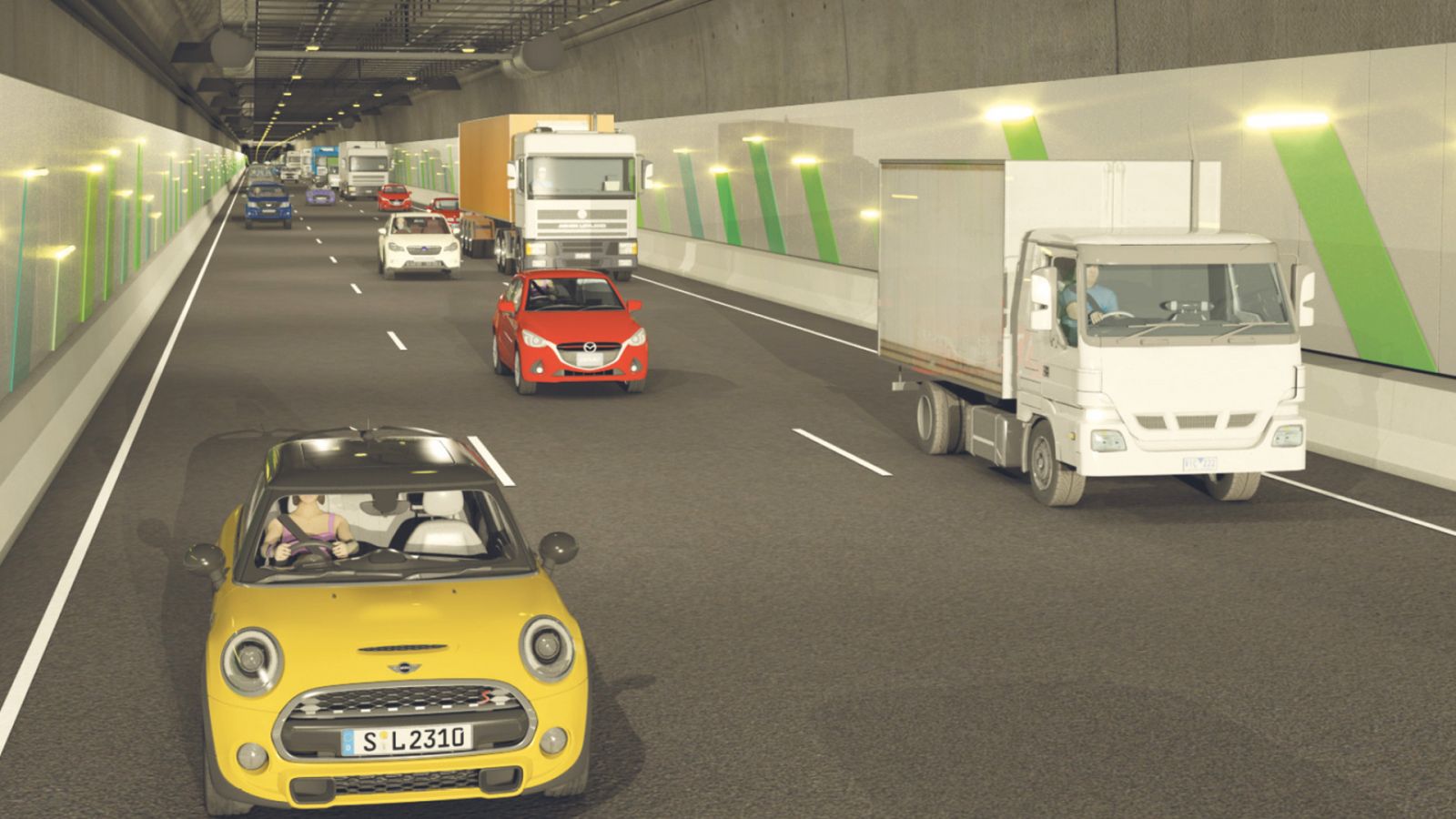
All about tunnels
Building road tunnels is a complex task, but as cities around the world grow tunnels are being used more and more to provide much needed infrastructure while protecting the land above.
North East Link is expected to include tunnelling beneath sensitive areas to reduce community and environmental impacts – any tunnels would be designed to meet stringent national and international safety requirements.
The North East Link tunnels
- Would carry commercial and private vehicles of all sizes and be designed for future traffic demands.
- The tunnel length and location would depend on the corridor chosen and is dependent on ground conditions – that’s why we’ll be doing extensive geotechnical testing.
- The exact route tunnels will take under the ground may not be finalised until prior to construction as it depends on advice from the construction industry.
- Some of the likely safety features include 24-hour surveillance, a deluge system for fire suppression, pedestrian access between tunnels and automatic incident detection systems.
Tunnels have ventilation systems to manage air quality both inside and outside the tunnels. Ventilation systems are designed to meet Environment Protection Authority standards.
In the coming months, we’ll be starting important geotechnical investigations to help us get a better picture of the ground conditions and decide where and how to build the project.
Technical studies
Over the coming months and years we need to complete a range of technical investigations for the business case and planning approval process. Here are just some of the studies we need to do as part of the project development:
- Heritage studies to identify any important areas and landmarks that need to be considered.
- Social and business impact assessments.
- Urban design, visual impact and land use planning assessments.
- Environmental investigations, including noise and vibration, ground water, surface water, flora and fauna, ecology and air quality.
- Engineering investigations, including options assessments, road design and geotechnical considerations.
- Traffic studies to understand current and future travel demand, and evaluate the project.
- Stakeholder studies which include input from community, councils and other government agencies about the project.
We’ll share more about our studies as they commence and keep you updated once they are underway.
How to stay involved
North East Link has the potential to deliver enormous community benefits, but we know that projects of this scale can be a big change and there will be impacts during construction and operation that need to be thoroughly understood and considered.
There will be lots of opportunities to help shape this project. We’ll be working hard to encourage community input and learn from local people, in particular about where the project will go and how connections will be made.
Some ways to keep informed
- Read our regular community update delivered direct to your home or business
- Follow us on social media
- Sign up for project updates to your inbox
Contact us directly if you would like to talk or meet in person about the project.
Some ways to get involved from mid-2017
- Attend our information sessions and forums
- Join the online conversation on our website
- Participate in surveys and research to help us better understand community values and concerns
- Join or make contact with our Community Reference Group to be established to represent community views.