Artists-impression-of-Koonung-Creek-bridge-to-Eram-Park-Box-Hill-North.jpg
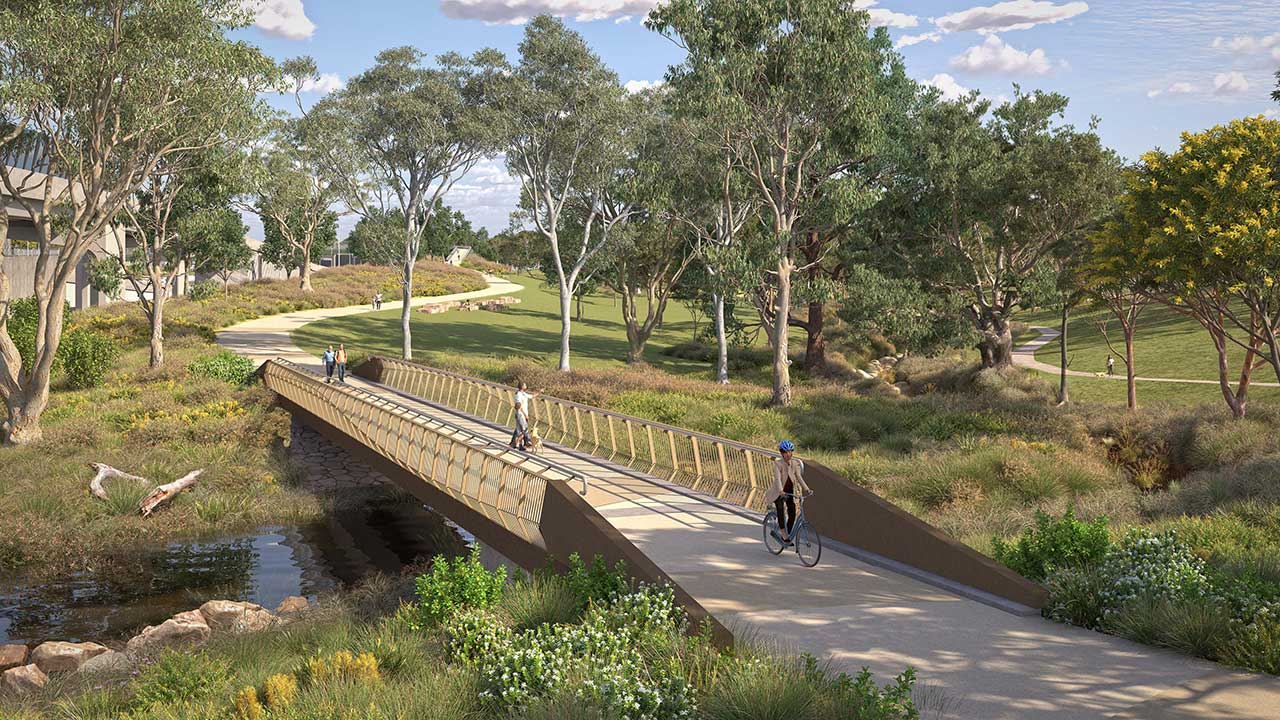
- Artist impression of Koonung Creek bridge to Eram Park, Box Hill North
We’re upgrading the Eastern Freeway between Tram and Springvale roads with new express lanes, upgraded entry and exit ramps, smart traffic technology and a connection to North East Link – slashing travel times and improving travel in Melbourne’s east.
To help deliver these upgrades, we’re proposing to update the project boundary through a Planning Scheme Amendment.
This will allow further design development and construction planning for essential project works.
About the proposed project boundary changes Project boundary changes at Tram Road Reserve and Koonung Creek Linear Park are needed to improve flood and water management in parklands surrounding Koonung Creek.
Small areas of permanent works will increase storage capacity from the existing levels provided to meet strict environmental performance and Melbourne Water requirements. This may include modifying weirs and retarding basins and drainage upgrades.
We’ll be working to minimise the areas needed to support construction and once works are complete they will be returned to the community to use similar to how they do now.
Consultation feedback on the amendment in May 2026, as well as local site investigations in XX this year will be used to inform the future design and construction planning.
Construction is not expected to start until 2027 and will not begin until after the project scope and updates to the project boundary have been finalised, and design information has been shared with the local community.
Helpful resources
Q&As Site investigations
We need to undertake additional site investigations to further refine the scope of proposed works and minimise impacts to the reserve. We’ve also heard people are wanting more detail about the project design, and the site investigations will help inform this next step.
Undertaking site investigations early allows us to verify the locations of existing underground services and confirm the accuracy of the geotechnical information we have about ground conditions. This will help further refine the scope of works for the proposed flood mitigation elements.
As part of these works, we’ll use a high-pressure hose attached to a small truck to safely expose and confirm the location of underground services. This is called non-destructive digging (NDD). We’ll also use a geotechnical drill rig with an augur attachment to dig shallow boreholes to collect soil samples. These boreholes will be backfilled and reinstated before we leave the area.
Verifying the locations of existing services underground and building our understanding of existing ground conditions, such as soil and rock types, soil strength and stability, groundwater levels and drainage conditions will help guide potential flood mitigation including the scope of earthworks, structures, and foundations.
To ensure our works can be carried out safely, we’ll temporarily close a section of the reserve north of Koonung Creek and south of Grange Park Avenue for up to 2 weeks in June while we undertake site investigations.
We’ll access Tram Road Reserve via the gate and bridge over the creek from our construction compound in Eram Park. You may notice drill rigs, construction vehicles, and personnel accessing the site.
The Koonung Creek Trail will remain open at all times. However, you may see traffic controllers managing the trail, with short stops and holds when vehicles are crossing to access the work area.
Planning Scheme Amendment
Bringing an additional area of Tram Road Reserve and Koonung Creek Linear Park into the approved project boundary is needed to improve flood and water management in parklands surrounding Koonung Creek.
Making this change through a Planning Scheme Amendment will mean stringent requirements to manage project design and construction already in place for other areas of the project will also apply here. These requirements were developed with input from the community for the project Environment Effects Statement (EES) in 2019.
Updating the project boundary through a Planning Scheme Amendment also means formal written submissions from community and other stakeholders including local councils can be considered before the amendment is finalised. We’re currently working through submissions received during the comment period in May 2026 and will be reporting back how this feedback has helped inform the final amendment later this year.
Adjustments to project boundaries during delivery is not uncommon for large projects.
The original project boundary was approved in 2019 and was based on early designs developed for larger elements of the project, like road and interchange design. Planning for more detailed elements like drainage and how water is managed in areas near Koonung Creek have developed as the project has progressed. Updates to the project boundary in other areas have also been needed to respond to design refinements and developments.
Maps prepared for the Planning Scheme Amendment show indicative areas for potential temporary and permanent works. These provide an idea of what may be involved for design and construction. The green shading shows where permanent works, such as modifying retarding basins, flood walls or weirs, may be needed. The yellow shading shows where works may be needed to support construction.
While we are working in these areas, we expect temporary closures will be needed. The amendment will put stringent requirements in place to minimise construction disruption for the surrounding community and open spaces – this will include minimising the area needed for the works.
Where possible we will try to access these areas from the freeway. The Planning Scheme Amendment also includes alternative access points so these can be used if needed.
Once the works are complete, the areas would be reinstated and returned for the community to use.
Construction is expected to start in early 2027, and we expect to be able to provide more information about staging and timing later this year.
We know walking and cycling is important to people who currently use the Koonung Creek Trail. Some diversions are currently in place in the area, and we appreciate people’s understanding as these are used to safely manage access.
Access to the Koonung Creek Trail will be managed during the proposed works, with temporary arrangements in place where needed. Any temporary changes will be carefully managed to support safe and efficient movement for cyclists and pedestrians around the area.
To deliver future works some trees and vegetation will need to be removed. Keeping as many existing trees as possible will be a priority during design and construction planning.
The Planning Scheme Amendment will put requirements in place for tree and vegetation removal to be avoided and minimised wherever possible, and for how replacement planting is to be managed.
Where trees do need to be removed, the project design will include plans for replacement planting.
We’ll likely know more about the design for this area and how construction will be managed later this year. We’ll be in touch with more information then.
Construction is expected to start in early 2027. Depending on the design solution developed, there may also need to be further consultation before construction can go ahead.