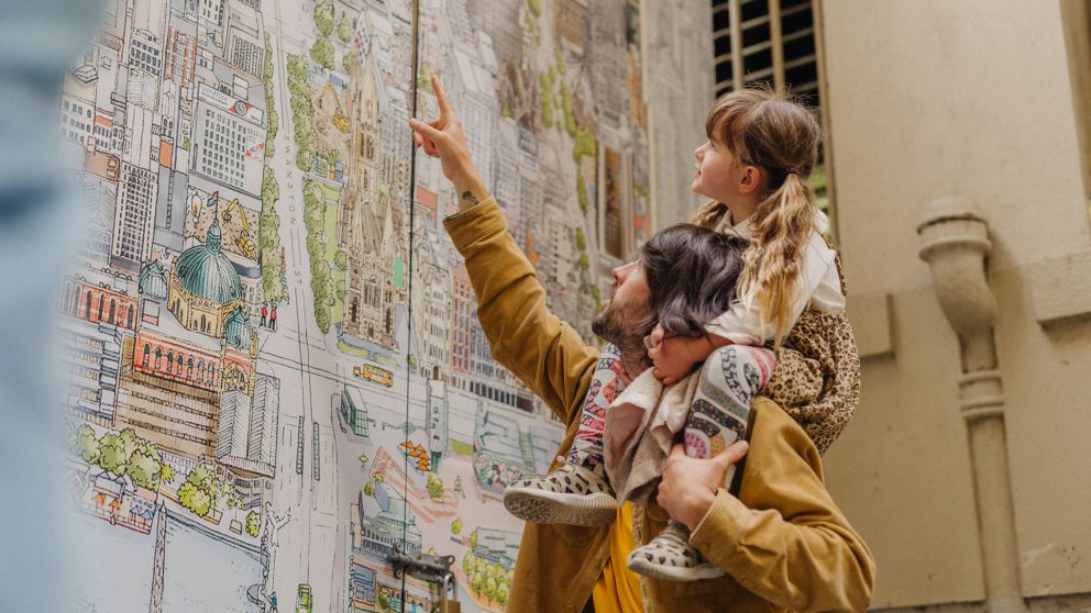
Illustrated maps define the places we love by the things we love about them and what we hold to be true about our sense of place in our collective imagination.
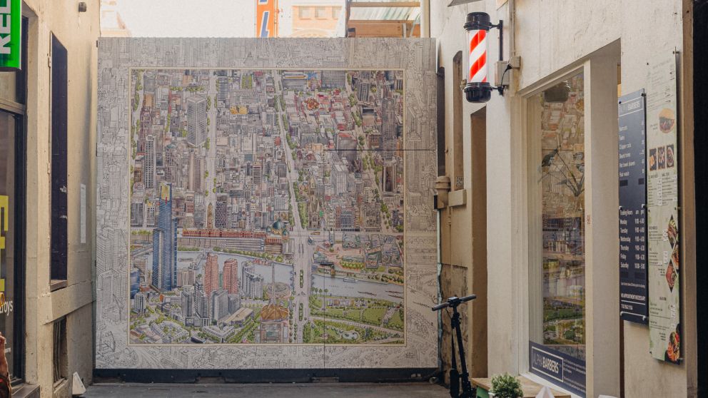
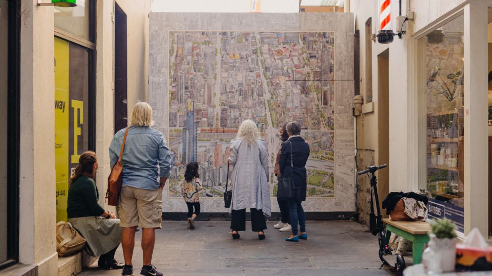
The creators of The Melbourne Map took thousands of photographs, notes and sketches, and spent more than 3 years hand drawing and colouring to produce the map, of which a small section is currently displayed in Scott Alley. They accurately researched and documented countless buildings, waterways, streets, gardens and quirky things discovered during the research.
See if you can spot some recognisable landmarks from the Flinders Quarter area on the map!
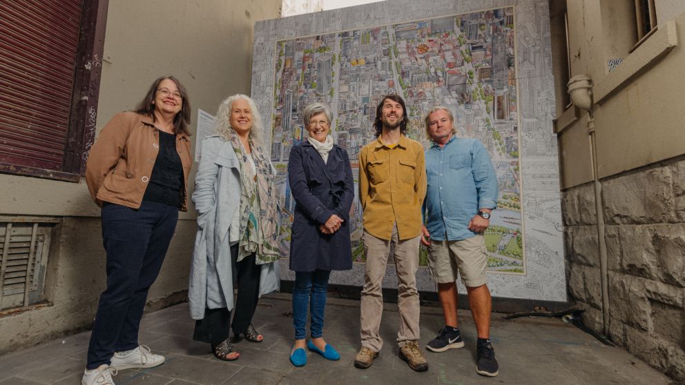
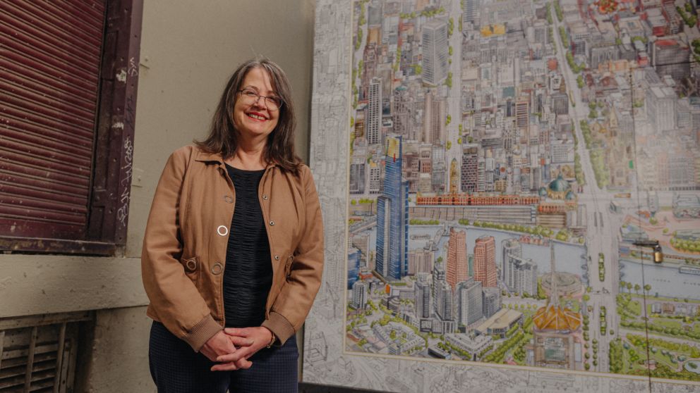
The Melbourne Map was made by:
Founder/producer: Melinda Clarke
Chief illustrator: Lewis Brownlie
Character illustrator: Deborah Young Monk
Digital colourist: Sean Rodwell